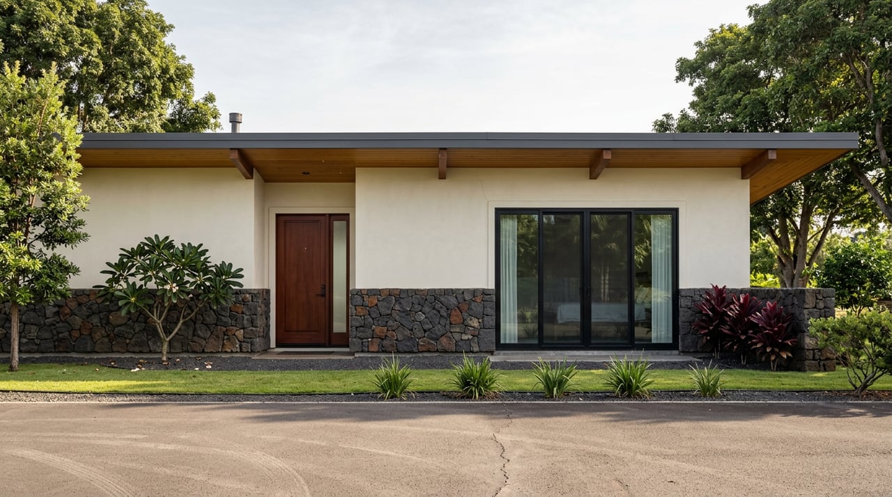
Turn off Queen Kaʻahumanu Highway at Hulikoa Drive, near mile marker 95, and the first thing you see is a guard shack. The guard shack marks the entrance to the Kohanaiki Golf and Ocean Club, while the public beach park is farther along the road. The real way in, the one everyone on this side of the island just calls Pine Trees, is past that shack, down a narrow paved road that circles the entire golf course before it ever touches sand.
The entrance gate can make access to the beach seem unclear at first. The road continues past it to the public park, a distinction worth understanding if this stretch of North Kona is part of your weekend routine.
The Road to the Park Wraps Around the Club
Once you're waved past the private entrance, the access road wraps around the Kohanaiki Golf and Ocean Club's fairways before dropping toward a small parking lot with a hut, where you turn onto a paved spur that follows the coastline. Parking runs the length of that road, with most of the surfing crowd clustered at the southern end near the strongest breaks. It's a working access road, not a resort driveway. Kids and pedestrians share it with cars the whole way in. The posted advice from longtime visitors is simple: go slow, because pedestrians outnumber cars.
The beach park itself sits about seven miles north of downtown Kailua-Kona, tucked just south of Kona International Airport and the Natural Energy Laboratory of Hawaiʻi Authority. One camping guide puts the airport at roughly two miles from the parking lot, close on a map, but nothing about the drive in past the golf course feels like you're near a runway.
The Pines Were Never Pines
The name "Pine Trees" is a misread that stuck. The trees lining the beach are heliotrope and hau, not pine, but generations of surfers thought the silhouettes looked close enough and the nickname outlived the correction. The official name, Kohanaiki County Beach Park, is newer than most people realize. Hawaiʻi County didn't formally establish it as a county park until 2013, complete with paved parking, showers, and a covered pavilion. The surf break, though, has drawn local families for decades longer than that, back when this was just an unmarked stretch of coast people knew by word of mouth.
Locals were using the place long before the county built a bathroom for it. It was never waiting for permission to be popular.
A 2003 Agreement Did the Actual Work
In 2003, a Good Faith Agreement locked in public access to the shoreline and protected the historic sites scattered along it, even as the surrounding land became one of the more exclusive private communities on this coast. Past the last parking lot, a trail leads into that protected area: a donkey corral, a canoe house, fishponds, petroglyphs, and a canoe slide, all remnants of the Kohanaiki Trail, an ahupuaʻa corridor that once connected the slopes of Hualālai to the ocean the way Hawaiian land divisions always did, from mountain to sea. Two older routes, the Ala Kahakai and the Ala Mamalahoa, both trace back to the 1800s and still cross this same ground.
The golf course's caretaker role isn't incidental to that agreement. The club maintains the makai portion of the historic trail, and the course itself earned recognition as the first Audubon Society Signature Sanctuary, a certification tied directly to how it manages the habitat along that shoreline. The private development and the public trail aren't separate stories here. They're the same obligation, split between a golf club and a county parks department that both answer to a document signed over twenty years ago.
The Real Closure Isn't the Clock. It's the Swell Direction.
Posted hours at Kohanaiki run 5:30 a.m. to 9:00 p.m. daily, and camping is permitted Thursday through Monday with a county permit, gates locking overnight between 9 p.m. and 5:30 a.m. Those hours are the easy part to plan around. What catches people off guard is that the park closes on a schedule nobody controls, tied to surf direction instead of the calendar.
Twice already in 2026, Hawaiʻi County shut Kohanaiki down with almost no lead time. On January 31, a high surf advisory for west-facing shores across North and South Kona pushed surf directly through the campsites, leaving debris scattered across the park and the access road that had to be cleared before anyone could return. Kahaluʻu Beach Park closed alongside it. Then on June 2, Big Island Now reported a second closure, this time from a south-facing advisory forecasting 8 to 12 foot surf, shutting Kohanaiki along with Kahaluʻu, La'aloa Park (Magic Sands), and Old Kona Airport Beach Park through the morning of June 4.
Two closures, about four months apart, triggered by swell coming from opposite directions. That's the pattern worth internalizing if you live anywhere near this coast: the guard shack at the club entrance never controls whether you get to the beach. Hawaiʻi County Civil Defense does, and it moves on ocean conditions, not business hours.
A few practical things that actually matter before you drive out:
- Camping permits are booked online through the county's parks portal, and you'll need to show that permit at the guard shack for an overnight parking pass.
- There are no stores or restaurants once you're past the gate, and camping guides recommend packing your own food and water rather than counting on what's on site.
- The County Parks and Recreation office can confirm current access and vehicle rules directly at (808) 961-8311, which is worth a call before any trip that involves gear you don't want to haul back out.
- Check for active high surf advisories before you go, especially in winter and during summer south swell windows. A closure can post with almost no warning, and the county's own facility directory is the most reliable place to confirm status.
Living Along This Trail Means Watching Two Calendars
The Kohanaiki Trail runs from Hualālai's upper slopes down to this exact shoreline, and that mauka-to-makai relationship isn't just historical trivia. It's still the organizing logic for how this part of North Kona functions. If you're on this coast, your weekend doesn't run on tee times or store hours. It runs on tide charts and storm tracks, the same two variables that shaped how this land was used long before anyone built a fairway on it.
A few minutes south, that same ethic shows up in a more hands-on form. The National Park Service's Kaloko-Honokōhau site protects two ancient fishponds, and volunteers with Hui Kaloko-Honokōhau spend monthly workdays wading into Kaloko Fishpond to pull invasive pickleweed and clear the freshwater springs it chokes off, part of a broader restoration effort across the park's fishponds that has coaxed native waterbirds back to water that had gone quiet for generations. It's a version of the same stewardship the 2003 agreement formalized up the coast at Kohanaiki, just with your hands in the mud instead of your feet in the sand.
Understanding that this beach was preserved on purpose, and that its access depends on the ocean rather than anyone's schedule, changes how you plan a Saturday here. The value of living near Pine Trees includes a shoreline kept public by a legal agreement, a Native Hawaiian trail system that still runs through it, and Pacific conditions that shape a visit.
If that rhythm sounds like the kind of daily life you're already building near North Kona, or the kind you're weighing a move toward, Hawaii Estates, LLC knows this coastline block by block, gate by gate. Get your Instant Home Valuation and talk to a team that understands what actually shapes property along this stretch of coast, starting with the swell forecast.
This article is general information, not legal, tax or financial advice. Consult a qualified professional about your situation.